


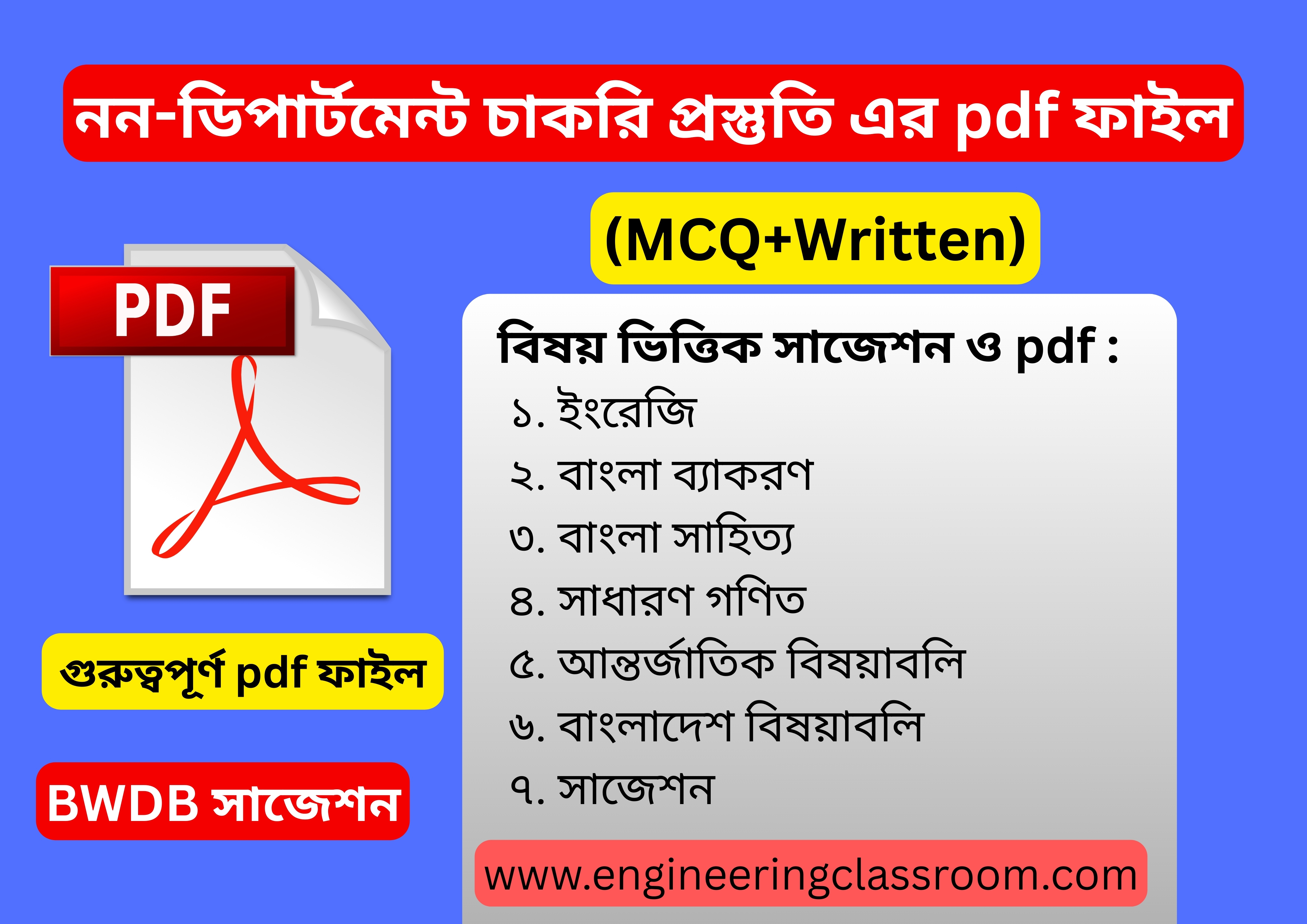
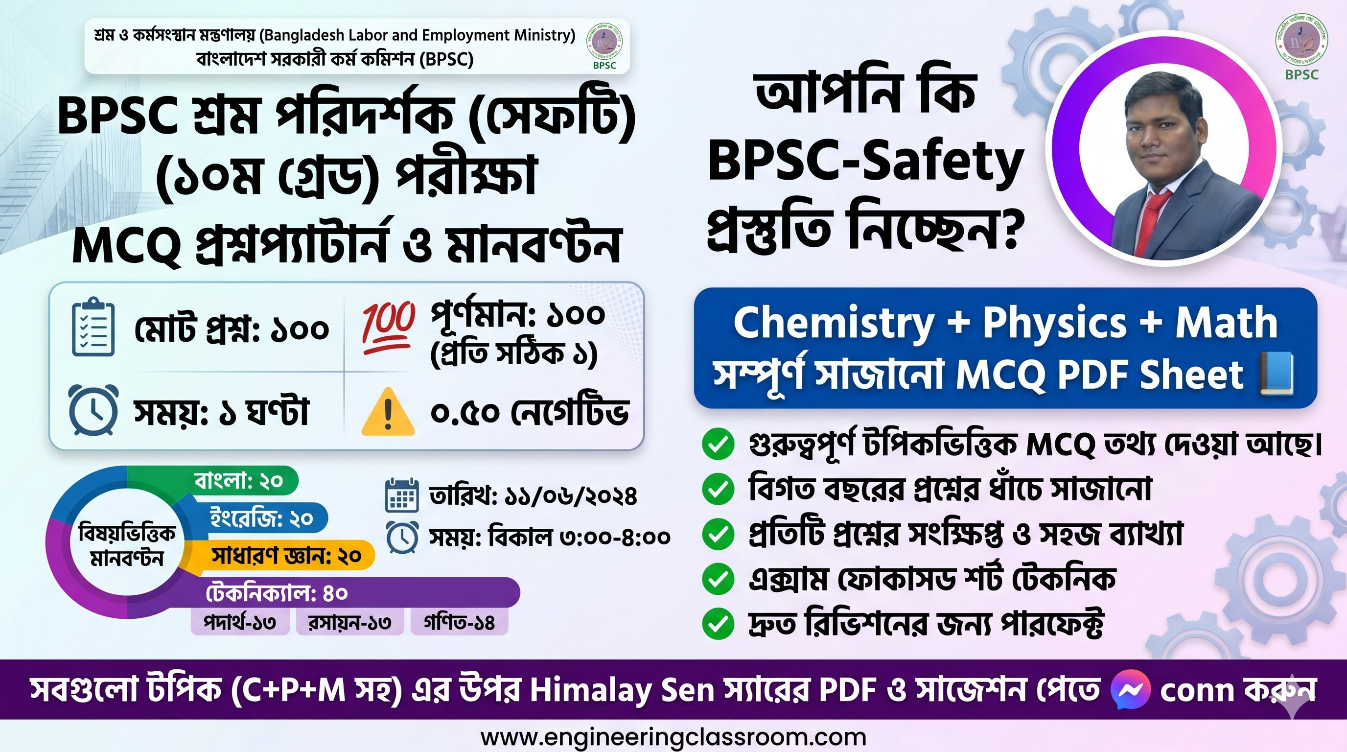
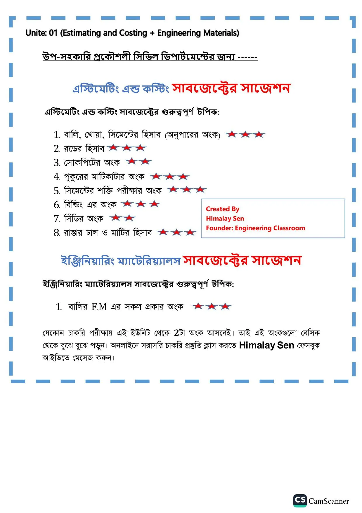


সার্ভেয়িং MCQ
সিভিল ডিপার্টমেন্টের "" সার্ভেয়িং "" সাবজেক্টের সকল MCQ এখানে পাবেন। Civil Engineering এর চাকরি প্রস্তুতির জন্য ডিপার্টমেন্ট ও নন-ডিপার্টমেন্টের সকল MCQ এর প্রশ্ন উত্তর ব্যাখ্যাসহ এখানে পাবেন। সহকারী/উপ-সহকারী প্রকৌশলী চাকরি প্রস্তুতির জন্য আমাদের App: Engineering Classroom গুগল প্লে-স্টোর থেকে ডাউনলোড করে নিন। Surveying all MCQ, Civil Engineering MCQ
341. Back bearing of a line is equal of [BPSC-22]
Fore bearing ±90°
Fore bearing ±180°
Fore bearing ±270°
Fore bearing ±360°
ব্যাখ্যা: Back bearing (BB) = Fore Bearing (FB) ±180° (+) ve signis used if FB is less @ than 180° এবং (-) ve sign is used if FB is more than 180°
342. If staff reading of two points A and B is 5.7 ft and 6.85 ft respectively and RL for point A is 100 ft then what is the RL of point B. [MOD-20]
101.15 ft
98.85 ft
105.6 ft
102.5 ft
ব্যাখ্যা:
343. If the line AB have forward bearing 130° then what is the backward bearing? [MOD-20]
50°
220°
310°
30°
ব্যাখ্যা:
344. Which one is not surveying instrument? [MOD-20]
Theodolite
Plane table
Microscope
Level machine
ব্যাখ্যা: Chains and Tapes. Taking accurate measurements is one of the most important tasks a land surveyour must complete.... Compasses and Clinometers, Transits and Theodolites, Levels, Safety Gear, Prisms and Reflectors, Magnetic Locators, Poles, Tripods and Mounts.
345. There are two stations A and B. Which of the following statements is correct? [BB-20]
The fore bearing of AB is AB
The back bearing of AB is BA
The fore and back bearings of AB differ by 180°
All of the above
ব্যাখ্যা:
346. The constant vertical distance between two adjacent contours is called[BPSC-22)
Horizontal interval
Vertical interval
Contour interval
Contour distance
ব্যাখ্যা: The constant vertical distance between two adjacent contour is called contour interval and horizontal distance between two contours is known contour gradient.
347. During survey of an engineering project, the laws of accidental errors follow which of the following principle? [BB-20]
normal equation
probability law
laws of weight
most probable value
ব্যাখ্যা: Laws of accidental errors follow the probability law, Which is having a definite law for accidental error accurence. It defines the errors and helps in expressing them in the form of equations.
348. The method of surveying in which field work and plotting work are done simultaneously is called- [MOD-20]
compass surveying
levelling
plane table
chain surveying
ব্যাখ্যা: Plane table surveying is a graphical method of survey in which the field observations and plotting are done simultaneously. It is simple and cheaper than Theodolite survey but it is mostly suitable for small scale survey.
349. The contour lines of different elevations-[BADC-22]
cross each other at right angles
cross each other at 45° angles
do not cross each other
cross each other at random
ব্যাখ্যা:
350. During plane table survey, the figure indicates which of the following procedures? [BB-20]
two point problem
three point problem
compass orientation
back sight orientation
ব্যাখ্যা:
351. The optical square is used to measure angles by-[MOD-20]
refraction
reflection
double refraction
double reflection
ব্যাখ্যা:
352. Contour interval is- [BB-20]
the vertical distance between two consecutive contours
the horizontal distance between two consecutive contours
the vertical distance between two points on same contours
the horizontal distance between two points on same contour
ব্যাখ্যা: A contour in the survey is the vertical distance or the difference in elevation between the two contour lines on a topographic тар.
353. Rise and fall method is used in-.
profile levelling
differential levelling
check levelling
none
ব্যাখ্যা: It consists of determining the difference of elevation between consecutive points by comparing each point after the first that immediately preceding it. The difference between their staff reading indicates a rise fall according to the staff reading at the point.
354. The contour intervals depends on the-. [MOD-20]
nature of the ground
scale of map
purpose and extend of survey
all of these
ব্যাখ্যা: The choice of suitable contour interval in a map depends upon four principal considerations, These are- (i) Nature of the Terrian, (ii) Scale of the Map, (iii) Accuracy, (iv) Time of Cost.
355. Length of Transition Curve = 150m. Length of Circular Curve = 1200m and Radius of Curvature = 1000m. The Shift (S) is- [PBRLP-21]
1m
0.94m
0.97m
1.1m
ব্যাখ্যা:
356. For a traverse containing 10 sides, what would be the correction applied for the first side, if it consists a closing error of + 1.92? [BB-20]
19.0
19.2
1.902
0.192
ব্যাখ্যা: The correction for sides in a traverse is given as correction = e/N, where N is the number of sides and e is the closing error. On substitution, we get, correction = 1.92/10 = 0.192.
357. যখন মাপা দূরত্ব প্রকৃত দূরত্ব হতে কম হয় তখন এই ভুলকে বলা হয়-
স্পট ভুল
ঋণাত্মক ভুল
ক্ষতিপূরণীয় ভুল
যান্ত্রিক ভুল
ব্যাখ্যা:
358. The value of representative fraction of a map is 1: 10000 then what is the measurement in map for actual distance 500m? [MOD-20]
5m
5cm
5mm
5in
ব্যাখ্যা: 10000 cm represents = 1cm 50000 (500x100)cm represents = 10000 cm = 5cm
359. A closed contour line with one or more higher ones inside to represent -[BB-20]
hill
pond
river
cliff
ব্যাখ্যা: A closed contour line with one or more higher ones inside to represent a hill. Similarly closed contour line with one or more lower ones inside it indicates a depression without an outlet.
360. RL of MSL at the Bay of Bengal near Cox Bazar is- [BPSC-22]
10m
50m
100m
ব্যাখ্যা: MSL means sea level. Mean sea level at the Bay of Bengal considered near Cox Bazar. R.L of MSL at the Bay of Bengal near Cox bazar is 0 (Zero).